hiking trails of kingston
Silver Lake Sanctuary

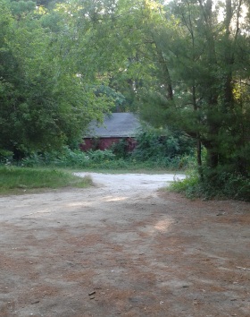
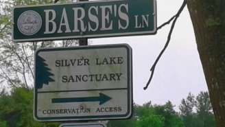
The hiking trails of the silver lake sanctuary are just over the Pembroke border into Kingston off route 27 on Barse's Lane.
A well placed sign announces the property, after a drive down a rustic dirt road.
Near the end of the lane you will find the parking area and a kiosk.
Silver Lake's History:
91.4 acres were purchased in 1997; There is a 900ft frontage to Silver Lake which contains 690 acres itself.
In the mid 1700's the lake was found to have a mine of iron ore and was used for this purpose.
Originally named Jones River Pond til it was used for harvesting lake ice starting around 1850, whereby it was then renamed Silver Lake a more pleasing name for selling ice.
The lake ice business discontinued around 1870, but the Silver Lake name continued. Then the City of Brockton eyed the lake for it's drinking water.
Several years of Brockton and Kingston battling over it ended in 1904 with legislation in favor of Brockton.
The hiking trails at Silver Lake Sanctuary
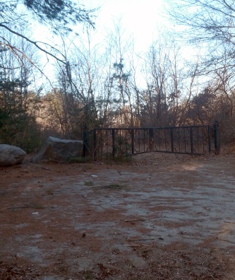
There seem to be two parts to the sanctuary hiking trails.
To the right is an ornamental iron gate leading you to the area called the bog trail on the map at the kiosk.
These trails will bring you down to and above Silver Lake.
Not immediately noticed, behind the kiosk is a Bay Circuit Trail Blaze indicating it's turn to the left. When following the dirt road Barse's Lane to the sanctuary you may notice a single blaze about mid way down the road.
Another couple of features that distract are,
straight ahead past the kiosk is a private residence.
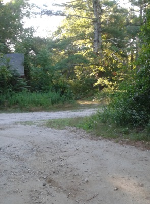
To the left is a barn. The trail leading to the second part of the sanctuary runs to the side of this barn and past a gate on the left of the kiosk.
The Bog Side of the Sanctuary:
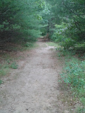
Going to the right of the kiosk and into the bog area, the trail starts off cart path sized and sandy.
Shortly you will come to a fork. Going to the left will bring you on a tour around the now overgrown bog.
It will join the trail straight at the point where it heads down to the "beach" along the shore of the lake.
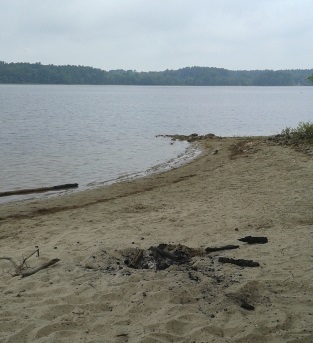 The edges of silver lake are usually sandy giving it a beach appearance.
If heading straight, many smaller narrow trails lead off to the left. These access the higher ground scenic area above the lake, but the main trail will take you that way as well.
The sandy trail will soon change to pine needles with grass poking through.
At .15 the lower intersection with the bog trail. Looking through the forest a small woodland pond can be seen to the right.
At just under 1/4 mile the trail leads to the "beach" area. Many a night time visitor has abused the area a bit.
Just before entering the beach a narrow path leads both ways.
To the right will lead along the shore, but come to posted property. Going to the left is the way of the main hiking trail.
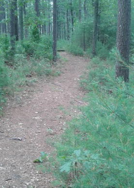
It comes to a partially cleared spot but then turns left and goes uphill on a short moderate climb.
It reaches a network of trails on the high ground.
The main trail turns right and follows straight through pleasant forest.
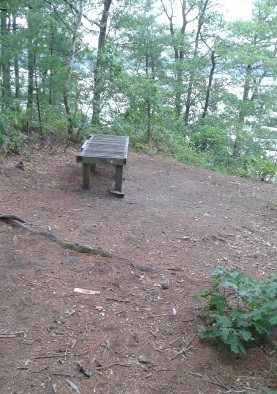
It will soon climb again short and moderately and at 1/3 miles to a bench with slightly obstructed views.
Along the way it passes one of the connecting trails from the beginning of the journey.
Continuing along there will be another messy party spot marring the beauty of the sanctuary.
Shortly after the trail splits with the Bay Circuit Trail leading to the left. Going to the right climbs uphill again.
At the top the trail will fork again. The main trail takes a sweeping left, but there is a narrow trail that continues straight.
This will become more and more faded and overgrown in some spots, but if you tough it out will lead to yet another scenic view on the lake.
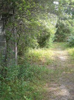
Taking the main trail to the left, it now descends almost sharply, then leads out straight to another side of the original parking area at just under 1/2 mile.
At this point I went back in to tour the bog trail I did not take.
That climbs a bit of a sand dune and then continues as a cart path meadow trail.
Shortly down the trail there are markers claiming it to be a conservation area beyond them and not to be traversed.
Several smaller trails leading away to the right appear to lead to private property.
The trail continues rounding the bog and meets the original main trail at 1/4 miles and passing the long unused pump house.
The second portion of hiking trails
at silver lake sanctuary run past the red barn,
up a dirt road that leads to another iron gate.
Unfortunately
the area before this gate has been
used by those not appreciative of the property
as they use it as a dumping area.
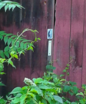
To the side of the barn as you pass it,
you will notice the white rectangle blaze
and logo of the Bay Circuit Trail.
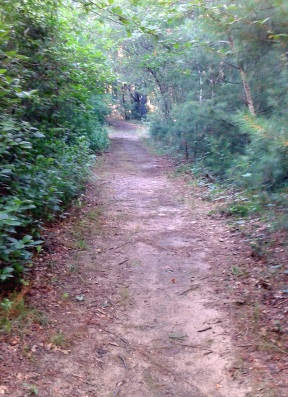
After the gate the hiking trail continues as a dirt road and soon passes over a culvert and past a stream fed pond.
There looks to be areas where some have fished at this pond.
Soon the trail traverses a second more active culvert with the stream continuing toward silver lake.
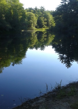 The hiking trail also appears to form the dam that created this small pond. The culverts allow the water to continue on to Silver Lake.
The trail becomes a bit sandy and at .14 comes to an intersection. The main trail continues straight.
The trail leading to the right is cart path sized and pine needle filled. Heading down this side trail, more trails exit both sides of this hiking trail along the way.
Heading down the side trail on the right
it looks like a bog with the stream from the culvert leading through. A
faint trail to the right takes you out to this area.
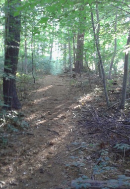
This cart path runs about a quarter of a mile and ends at a small pond.
There is a narrow trail leading to the left at the ponds edge, but it fades off if followed.
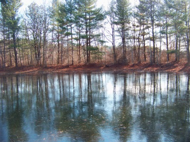 Even in Winter the color of this little pond is beautiful!
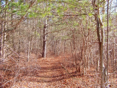
On the way back up to the main trail I decided to follow the trail that led to the left on the way down.
This also, is a pine needle cart path.
It passes along a wet land area, then becomes uneven and full of tree roots.
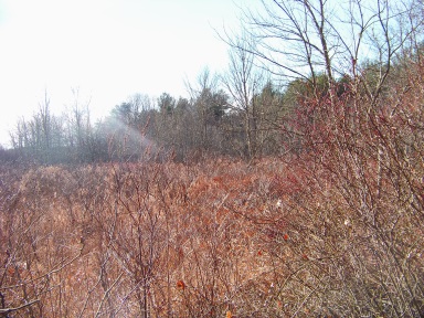
At .41 of the journey the trail narrows a bit and curves gently to the right.
Then it widens back to a cart path and becomes full of roots and moss.
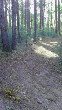
At .47 it intersects with a trail blazed in red. Not sure if this red blaze is official or made by those who created a route of their own.
At this intersection I turned right. The trail is sandy and a bit wider than a cart path.
At .53 of this hiking route a trail leads to the left. The wet lands are visible to the right.
At
.61 the trail ends at Silver Lake. There is a narrow trail to the right
that leads along the wetland, dividing it from the lake.
Another narrow trail goes to the left and leads out to another stream that feeds into the Lake.
Another turn around and hike back to the trail that was not taken. This hiking trail leads uphill and soon you will find more red blazes.
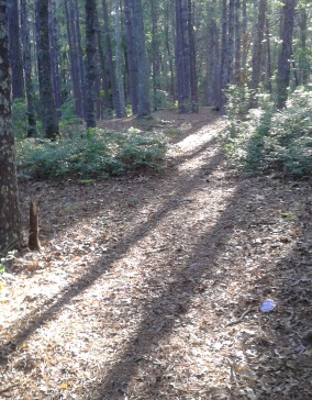
It passes through a beautiful wooded area that has been carved out dramatically by glacial activity in the past.
You can almost picture the glacier moving downhill into the lake. There is another party area but this one better kept.
To the right heading uphill, more of the stream can be seen.
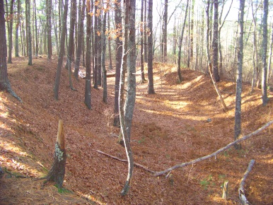 One can almost picture a slow moving glacier carving out this area and heading downhill to Silver Lake.
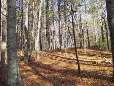
The hiking trail continues uphill at a moderate climb.
As it crests another red blaze can be found.The trail becomes a bit obscure but the red blazes continue to mark the way.
Houses come into view as the red blazes lead you downhill.The trail is rough coming down.
The
hiking trail then intersects another path marked by the red blazes both
ways. This trail is more defined. To the right if followed will become
rough and leads over a makeshift bridge.
It will then lead into a neighborhood, but I did not continue to find out which one.
If following left it heads back into the sanctuary and becomes a rut at the bottom of the hill.
At .96 of this journey the hiking trail turns right and leads away from the hill. Shortly after it intersects the main trail.
Going to the left there is a small sand pit and shortly after that the original intersection where the red blazes were first encountered.
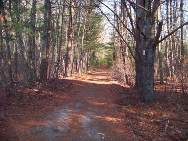
Going to the right continues making this a nice loop trail heading back to the parking area.
At 1.13 of the journey the Bay Circuit Trail exits the property on a trail that will lead out to the side of route 27. At 1.16 a second trail that makes a fork with the last one also leads to the BCT exit.
Along the way back out to the parking area, the forest on the right becomes very open looking. Almost like there has been an effort to manage this part of the sanctuary.
Of course I like to explore and found this area backs up to the side of the small stream fed pond that we passed at the beginning of the journey.
After this explore and a finish to the parking area this part of the hiking exploration of silver lake sanctuary came out to just over 1 1/2 miles.
- South Shore Hiking Trails ›
- Kingston ›
- Silver Lake Sanctuary
Trail
Quick Facts
Directions:
from exit 18 on route 3 follow route 3A north. Take the left on route 106 (Main St). At the fork with route 27 take that route slightly leading right. Now Pembroke St. Follow this past Silver Lake High School and through the intersection with Lake st and Station St. The third street on the left will be Barse's Lane.
Parking:
Large area at the kiosk accommodating many vehicles.
Trail Time:
Moderate:
2-3 miles of hiking trails
Difficulty:
Mostly Easy
couple of moderate hills
Water sources:
Several, Silver Lake which is a water source for the city of Brockton. Two sizeable streams running into the lake.
Other activities:
Snow shoeing and cross country ski in winter.
Bird Watching
Dogs:
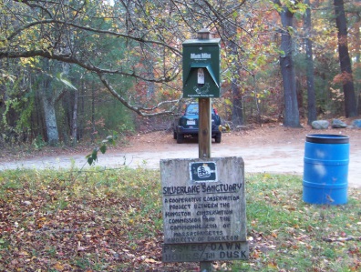 Mutt mits at the sanctuary and a trash barrel.
 During the summer there are plenty of options for dogs that like to play in the water!

Silver Lake Sanctuary Trail Map
If you prefer.....
Use your smart phone and a QR Scanner to access and download your own copy or use the link above for direct access.



New! Comments
Have your say about what you just read! Leave me a comment in the box below.