hiking trails or scituate
Ellis Estate Trails

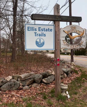
The Ellis Estate Trails located just outside
North Scituate Village on Country Way
are an easy to hike collection of trails.
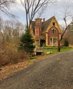
These hiking trails wind around
and through out the property
and Estate for which they are
named after.
The house is set back well on the property and now houses the Scituate Art Association.
The 89 acre property was acquired in 1969 by the town for conservation. Six acres of land were eventually used in a controversial decision by the town to transfer the use to a public safety facility.
The 6 acres run along route 3A making it a perfect location for the combination Fire/Police Station.
Having hiked here years ago and knowing the Seaview Trail did a loop through this area it was a wonder how they came out of conservation for such a purpose.
There are those that opposed this and rightfully so, but really the land is better suited for its current use than hiking near such a busy road!
 Only marked by a yellow square blaze, the Ellsberg Trail can easily be overlooked.
From Route 3A take a turn down Booth Hill Rd and at its end another right onto Country Way.
Shortly down this road the entrance is on the right.
Immediately on the road up to the estate a small parking lot will be on the left.
Though not marked one end of the Ellsberg Trail runs out of this parking area.
Marked by a boulder and currently some painted rocks that adorn it, this trail is blazed by yellow squares.
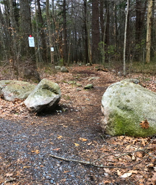
Another trail of the Ellis Estate is located across the main entrance road just up this long driveway.
The Bailey/Ellis trail named after the two families that owned this property makes a loop through the property marked by red squares.
This can also be accessed shortly up the Ellsberg Trail that leaves the parking area.
At a trail junction at the far end of the loop of the Bailey/Ellis Trail you can extend your hike by continuing on the Seaview trail.
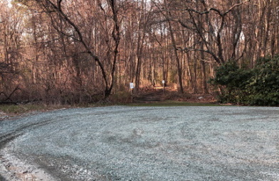 The Elm Heights Trail connects to a parking lot on Mann Lot Rd.
At this same junction there is a connecting trail marked by white diamonds that will bring you to the house of this Estate.
Here you will find more parking spots and the connecting Elm Heights trail, a name that once was used by the Ellis Estate. This connecting trail links to the small parking lot on Mann Lot Rd next to the public safety facility.
Leading alongside and behind the Estate is the other end of the Ellsberg Trail another name attached to this house during a different era of Ellis Estate history .
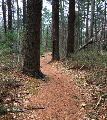
There will be no trail guide for these trails as they are short enough to not be needed.
The trails are well maintained and easy to hike.
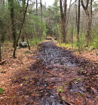
Only wet weather or early spring can make it a challenge if you aren't prepared.
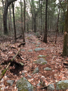
Another mild challenge of the Ellis Estate Trails are the occasional rockiness on parts of the trails.
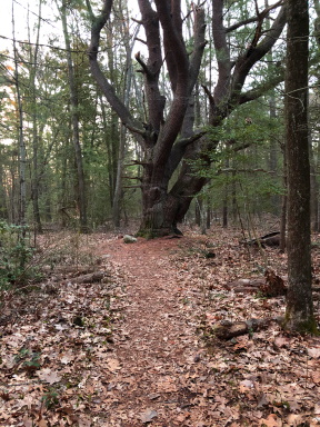
The Ellsberg Trail seems to be the most interesting.
It passes this large tree.
Further down the trail it crosses an area lined by two stone walls.
The history notes say cattle were herded through here. Although well over grown it isn't hard to picture.
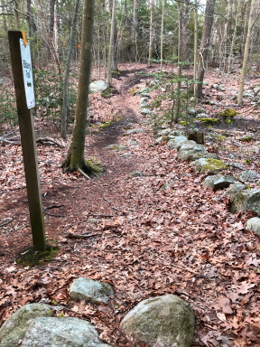
The only part of hiking these trails that could be confusing is where the Ellsberg Trail meets what is called a social trail.
This trail ends at private property and intersects the Ellsberg Trail.
Natural inclination would be to continue on the social trail but there is an arrowed sign leading you the right way.
The trail then passes over a body of water the history page calls Deke's Pond.
The trail climbs a bit after this being the only real uphill trek on the property.
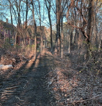
The hiking trail will then run over rocks and roots and lead up behind the estate.
You will feel like you are trespassing but the trail leads to the left and to the side of the house.
Follow down the road and use the connector trail with the white diamonds to the intersection with the Bailey/Ellis Trail and Seaview Trail.
Either way on the Bailey Ellis will lead back to the lower parking lot.
This will make a hike of 1.25 miles.
If you would like a longer hike looping back on the Bailey/Ellis just before the boulders to explore that side and continuing on the Seaview for a more moderate hike.
Trail
Quick Facts
Directions:
most directions on this site start from Route 3 as the start point. From that route take exit 35 and follow route 228 into Hingham. Following through most of Hingham on this route till the intersection with route 3A. Take a right heading south on route 3A. Continue into Cohasset and through it into Scituate. At the second yellow blinking light turn left onto Booth Hill Rd. Follow to the end and take a right onto Country Way. The Ellis Estate Trails will be shortly down the street on the right.
Parking:
In the lot immediately to the left or straight up to the estate where additional parking can be found. Also a small lot on Mann Lot Rd which connects Rt 3A and Country Way. This parking is close to Rt 3A.
Trail Time:
Short to moderate
Difficulty:
Easy
Water sources:
Deke's Pond
Other activities:
Snow shoe or cross country ski in snow conditions


New! Comments
Have your say about what you just read! Leave me a comment in the box below.