hiking trails of norwell
Jacobs Pond Conservation Area

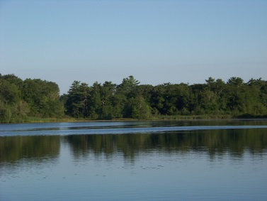
The Jacobs Pond Conservation area and it's hiking trails comprise of about 200 acres.
The pond itself contains 59 of those acres. It is located in the Assinippi village area of Norwell, the area that the Jacobs family helped settle.
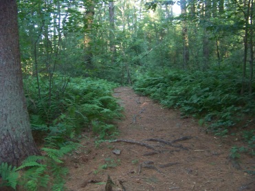
This conservation area is part of a complex that includes the historic Jacobs farm which is another town owned property along with the South Shore Science Center across the street from the conservation parking area.
This other property can be accessed by a cross walk leading into more hiking trails around the science center.
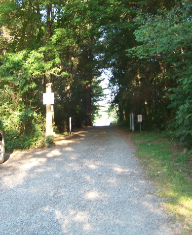
The main entrance and parking are on Jacobs Lane.
There is one picnic table in a clearing at the parking lot and several others dotted around the property.
Near the main entrance road you will also find a kiosk with a map and info.
Just into the property you will find
an interpretive area designed to
show the importance of maintaining
a forest and it's advantages.
It is called the demonstration forest.
The main entrance road leads down to
Jacobs Pond where you will find another picnic area located at the
handicapped parking and boat launching area.
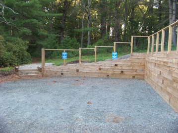
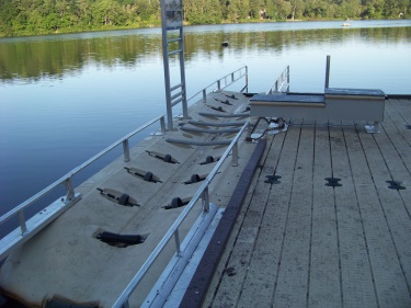
What gives this property a nice touch is the additional parking and thought toward handicapped accessible canoe/ kayak launch.
Currently a ramp is being added to aid those from the parking lot to the launch site at the dock.
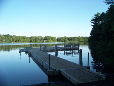
Here one can catch a full view of Jacobs pond,
a man made pond created by damming Third Herring Brook when the Jacobs family first settled in the area and erected a mill on the site.
Now it's a great place to cast a fishing line at or just plain sit and while the day away.
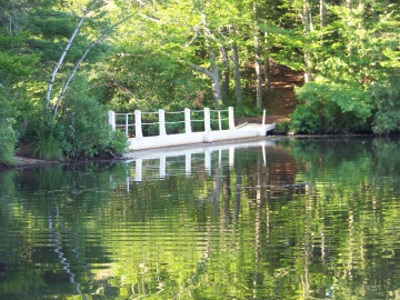
To the left of this area is a trail leading to a bridge that crosses over to an island in the pond.
There is a network of trails on the island leading to spots with views of almost every part of the pond.
There is another picnic table and campfire area on this island as well.
In season, this spot is a camp site available by permit from the town.
To do so you need to provide a portable restroom and either bring your own water in or filter it from the pond.
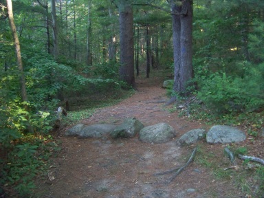
To the right, along the main entrance road
and at the corner of the handicapped
parking are the hiking trails marked
in blue circles.
These intersect to make two loops into the forest.
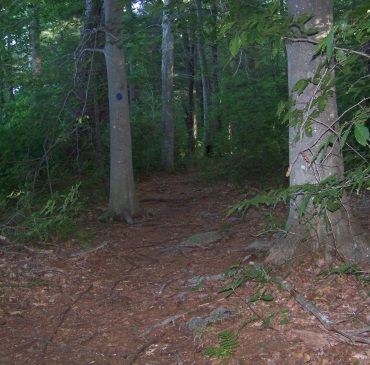
The trail marked by these blue dots that follow the shore of the pond
is called the Wes Osborne Trail. The inner forest trail is the Jacobs
Pond Trail.
Other trails are marked by Yellow and Orange circles.
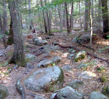 Any hiking trail that leads over glacial til is difficult to navigate
The blue circle trail that is the Jacobs Pond Trail is the longest hiking trail on the property. After it intersects the Osborne Trail for the second time it runs inland, through glacial till and up forest to a picnic area and a look out point at the far end of the pond. This area being the more rugged part of the hiking experience.
glacial til: moderate sized boulders that look like marbles scattered by a giant. are the debris left as a glacier moved through the area.
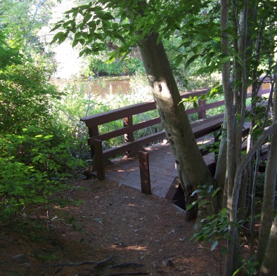
The blue circle trail will also bring you to the bridge that connects the property with Duncan Drive in the Jacobs Trail Lane neighborhood on route 53. The trail then turns and continues on along an esker which at that point it is called Esker Trail.
At the end of the Esker Trail you will find an intersection with the yellow circle trail leading left called Prospect Trail. Heading right, you will find both yellow and blue markers together. This portion is called the Valley Trail. It meets back with the Jacobs Pond Trail.
If going left on the Prospect Trail, you will come upon another intersection with orange circles. This hiking trail is called the Beech Trail as it passes through a grove of Beech trees. This route can give you a bit of a longer hike returning back further along the Jacobs Pond Trail than the Valley Trail.
If continuing on the yellow trail to it's end, this will bring you to the side of the road on Prospect St. across from Capt. Joshua Lane.
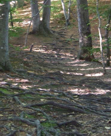
Hiking through the area for the most part is easy except that some areas are filled heavily with tree roots. As you follow the Jacobs Pond Trail past the intersection with the Wes Osborne Trail, the portion of the hiking trail that passes through the glacial til is also making it's way up to the esker so the going gets a bit more rugged here.
The Esker trail at times
is easy to walk but becomes filled with tree roots as well, then appears as
most eskers do, sandy with many rocks. For a description of what an Esker is go to the page Great Esker Park.
A hike featuring a tour of
most of the forest can be done by using one of the two blue circle
trails that leave the main entrance area, continuing on along the Jacobs Pond Trail after the second intersection and on to the outlook, bridge and then the Esker trail.
My journey I used the Jacobs Pond Trail in it's entirety then followed the Valley Trail after the Esker Trail and then finished along the pond shore on the Wes Osborne Trail and finally an island explore.
This was approximately a 2.25 mile hike.
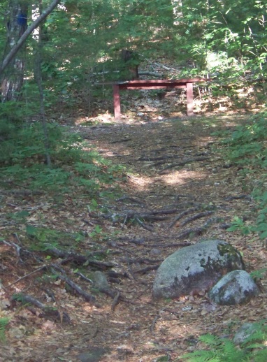
several benches to rest on are
found throughout the conservation area
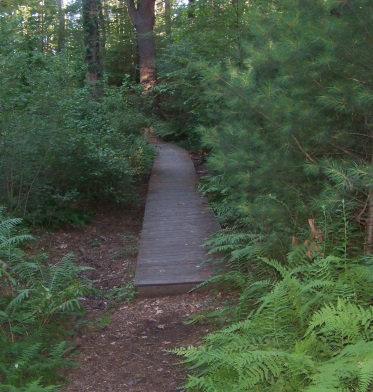
there are boardwalks to help ease
you over wet areas along the way
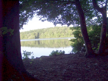
shady paths lead out to views of
the pond on the Wes Osborne Trail
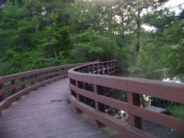
The Cliff Prentiss Bridge is one of
the many special features of
the conservation area
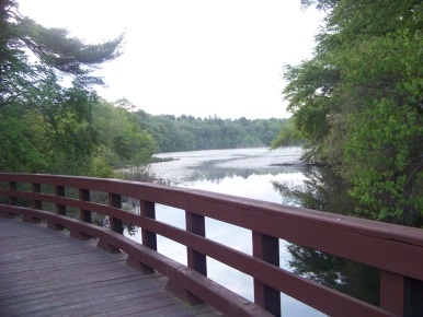
with it's own scenic views!
- South Shore Hiking Trails ›
- Norwell ›
- Jacobs Pond
Trail
Quick Facts
Directions:
From exit 32 on route 3 head north on route 53. At the next lighted intersection (Assinippi corner) take a right. Jacobs Lane is shortly down the street on the left. The parking lot is approx.1/4-1/2 mile on the left.
Parking:
approx. 7-10 vehicles more space across the road at the science center.
Trail Time:
Moderate:
varied experience depending on which looped trail taken. 2-3 miles for a full explore.
Difficulty:
Easy with moderately rugged areas
Water sources:
The pond
Other activities:
Canoe/Kayak, x-country skiing, snow shoeing, camping with permit, bird watching
Dogs:
 good dog swimming area
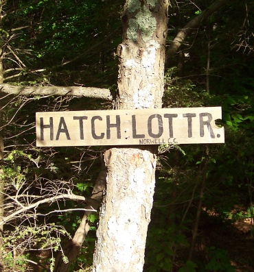
To connect to the Hatch Lots Conservation Area,
refer to the map link above and use the Prospect Trail out to Prospect St. Go right and follow down to Loring St. on the left just after the intersection with Jacob Lane. Follow down the street taking the left on Edgewood Park. Follow the side walk down the street and shortly down on the left you will find the trail leading in.



New! Comments
Have your say about what you just read! Leave me a comment in the box below.