hiking trails of hanover
Colby Phillips Trail

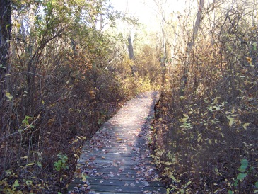
In Hanover, hiking trails have been aggressively developed as part of the Hanover Greenway Project. The Colby Phillips Trail is one that was developed early in the planning.
The main trail is approximately 1 1/3 miles in length of easy walking through heavily forested woodlands.
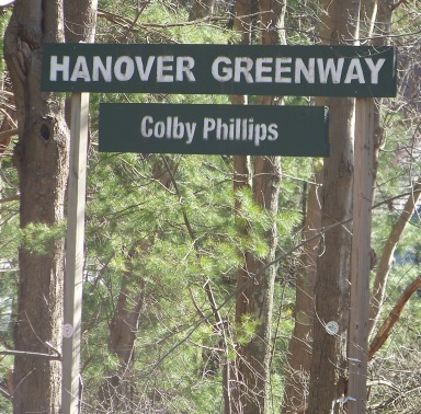
The trail head is located at the entrance of the middle school on Pleasant st.
Several parking spots are available along the entrance to the school.
There is ample room at both ends of this trail for parking.
The dead end of Circuit st located off Pleasant St,
there is a cul de sac like ending with room for several cars.
To find the trail from this end one needs to walk back up the street to access the dirt road right of way between houses 959 & 969.
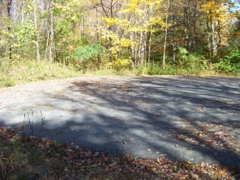
Parking at the end of Circuit St
Starting from the trail head at the middle school, the first part of the trail is a boardwalk over wetlands. The trail divides after this shortly one path leads uphill where it is dry and the other stays on the lower portion where it seems most times to be quite wet.
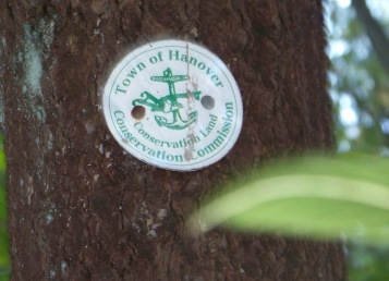
The main hiking trail is marked by green arrows and the Hanover Town Conservation Seals.
It is a wonderfully deep forest with a varied assortment of tree types. Like many of the forests on the south shore it has taken a beaten by the powerfully windy storms of the last few years.
Many wooden signs that had formerly been placed throughout the forest describing some of the types of trees growing on the property, as well as signs marking trails and features have been destroyed by the elements and some unfortunately vandalized. These have been replaced with a simplified marking system of green arrows for the main trail and red for the loops throughout the forest.
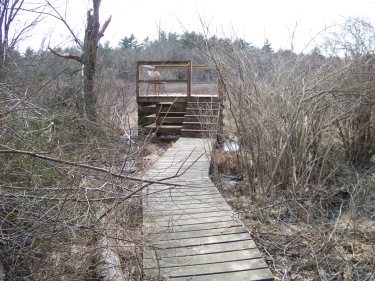
At the 4/10ths of a mile mark there will be a red arrow pointing to the left. This is a short side trail leading to a viewing platform along side a marsh.
Cushing Brook flows through this marsh. This platform has also taken a beaten in the past few years but has been repaired.
It can be a wonderfully quiet stop on your journey through this forest!
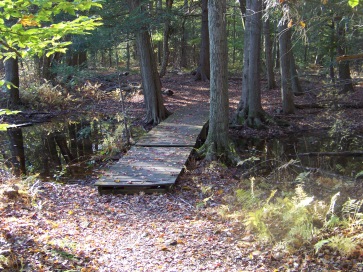
Shortly up the trail from the platform you will be eased over more wetland by another board walk.
At about the 3/4 mile mark you will come upon the bridge that crosses Cushing Brook. Crossing this brook was the major concern for trail development on this property.
It was built in 2001 as an Ameri Corps project. Since it's initial construction there have been problems with the flow of this brook necessitating additions to this bridge.
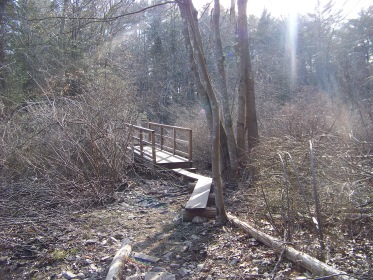
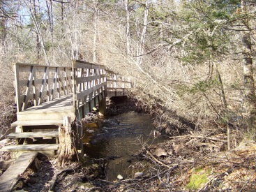
One problem recently were beavers building a dam along the underside of the bridge causing it to over flow and the brook to widen.
After this bridge several benches can be found along the trail. More red arrows pointing to side trails will appear. The first is on the right immediately after the bridge. These side trails make loops through the forest and connect back to the main trail.
The trails to the right of the main trail are more numerous.

A former sign that no longer exists and has been replaced by the red arrows indicating a secondary trail.
At 9/10th mile an arrow points to the left. There was a sign at one time calling this the river side loop trail. This trail is approximately 4/10 th miles long. It runs along with the Cushing Brook with only limited views. You will find yourself on the other side of the marsh that is viewed from the platform. This trail winds through the forest and rejoins the main trail.
Just after the one mile on the main trail, there will be a bench on the right and a trail beside it. This trail if followed will have side trails leading to the left that will connect to the Rockland Rail Trail.
There will be many trails looping off this trail. It really almost becomes a maze of trails, though exploring them is quite interesting.
Continuing on the main trail the other end of the River side loop will emerge to the left.
At almost 1 1/3 mile the trail will travel over another small unnamed stream and the West Hanover Cemetery will soon appear.
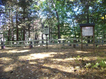
Some call this the Darling Cemetery.
Spending some time here can prove educational. There is information about who is buried here and former property use.
Continuing on will bring you out to Circuit st. It will look like you are walking through private property but it is the access road to the trail.
Exploring all the hiking trails here in the Colby Phillips conservation can take several hours and as many as 3-4 miles of walking can be done on this property.
- South Shore Hiking Trails ›
- Hanover ›
- Colby Philllips

TRAIL QUICK FACTS
Directions:
From exit 35 head north on rt 228 (if coming from the north, if coming from the south, head south) .
At the next set of lights turn onto Pond St. Follow Pond St into Hanover where it becomes Whiting St. At intersection with Rt 123 continue straight. Approx. one mile on the left, just after Old School House Lane will be the Hanover Middle School with the trail head across the street on the right.
For other end of trail near Rockland Rail Trail continue down Whiting where the street becomes Pleasant St at it's intersection with Cedar St. Follow to end of Pleasant, just before the lights at Route 139 to right on Circuit St. Follow to the end of the street.
Parking:
Hanover Middle School entrance or
Cul de sac at end of Circuit St. Hike back up street to right of way between # 959 and #969
Trail Time:
Moderate:
main trail 1 1/3 miles. Several side trails
Difficulty:
Easy;
with some slight grades on side trails
Water sources:
two regular flowing streams
Other activities:
bird watching, bicycling (limited), cross country skiing and snow shoe in winter.


New! Comments
Have your say about what you just read! Leave me a comment in the box below.