hiking trails of hanover
Denham Pond Trails

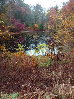
The Denham Pond Trails located on Circuit Street are pleasant trails winding through forest nestled inside of a quiet neighborhood.
Of the several times visited only once did I find others enjoying this property. Those with not so social dogs may appreciate this quality.
If you are time crunched this set of trails will be appreciated for a quick stretch of the legs.
From route 139 in Hanover the access road is less than a ¼ mile on the left. Drive down the access road and park on the field at the end.
The Denham Pond trails start on either side of Denham Pond. For the trail description we start to the right which is more immediately seen. The main trail through the property is marked by green blazes and arrows. It is mostly a wide path easily traveled.
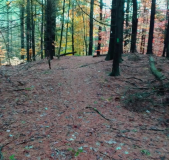 Most of the green trail is wide through open forest.
The lesser way of red arrows
and blazes at times make side
loops in and around the green
arrowed trail.
This hiking trail will then cut
across the property exploring
lower portions where the stream
runs through.
While it is well marked there are some areas that leave the hiker looking for the way.
This trail runs on a more narrow track wandering a bit deeper into the property.
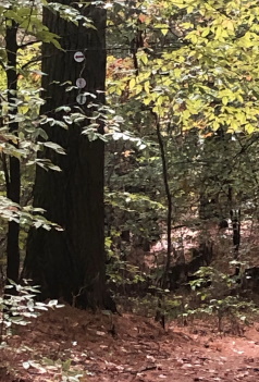
The beginning of the trail runs along
Denham Pond where once a bench sat at the edge of the pond but has
now disappeared.
The wide cart path sized trail shortly comes to its first intersection with a red arrowed trail leading right.
Continue straight for the main trail.
Quite quickly after another set of arrows show another red arrow trail to the right.
Soon after a set of arrows on a tree show green trail heads straight and a trail for the red arrow now goes left.
The left is a few steps past the arrows and narrow.
Look for the blaze on a small pine tree.
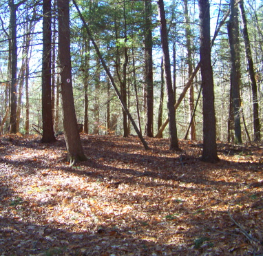
Continuing straight for the main trail, soon the forest opens up and the trail descends.
Several times the forest becomes open necessitating vigilance for searching for blazes.
Along this stretch another red arrow trail leads to the right.
This is another side loop that will reconnect with the green trail.
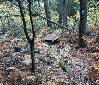
There are many faint trails that can lead you away from the main trail. The trail curves to the left, becomes narrow and at .20 crosses over a small bridge.
The area is wet and boggy and could use the bridge extended. Older logs have been placed to help the hiker through here but at times they are wet and slippery.
There will be several small moderate climbs followed by immediate descends and then the trail will run along the side of a hill.
If you explore up the top of this hill you will find yourself at the edge of private property.
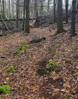
The trail will descend down to the lower
ground and curve to the right.
At just before ½ mile the trail will lead
under a massive downed tree followed
by some outcropping to the right.
Soon private property will be seen to the
right and another intersection with the
red trail just after.
The
trail is wide again and appears to lead into private property but
takes a sharp left.
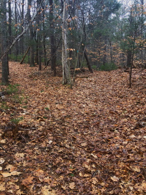
Just shortly after this left the trail splits.
Red goes left and Green is straight.
Blazes are not readily seen till you
start down the trail.
The green arrow trail narrows again.
This portion runs level and pleasant.
You will find a depression in the ground
to the left.
On the trail a series of mounds most likely
made by mountain bike enthusiasts look
unused for some time.
There will soon be a slight incline and the trail will follow through an area that previously had much storm damage but that has all been cleared away.
The trail will then curve left as it nears yet another private property.
Not long after, it approaches the pond once again on its other side.
Just before entering the field where the journey began a not well defined trail leaves to the left. It runs along the eastern side of the pond.
It is shown on the map to lead to a log pile.
This main loop at the Denham Pond Trails measured approximately .65.
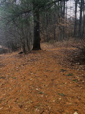
Not being enough of a hike a red blaze trail explore came next.
Follow the green trail again to the first intersection.
Going right at the first intersection or any of the first few red arrow trail to the right is only for those who like to explore.
The trail becomes lost here at times but the way is interesting and may lend itself to much exploration if you are up for that.
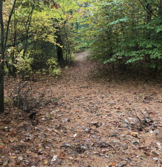 The trails blazed by red arrows are mostly path sized.
If you just want a hike that is clear follow trail down to where the red arrow trail leads to the left.
The red arrow trail leading to the right starts defined but soon becomes
narrow.
It shortly comes to an intersection where the trail either way is very narrow and a bit overgrown.
Continuing right, soon an arrow pointing left leads into an open area and the trail becomes lost.
In this area the trail leads along a back yard. Almost every time I have hiked here a dog is let out that continually barks at those hiking.
The trail actually takes a continuing deep left curve and runs slightly downhill.
If you find yourself in this open area looking for the trail, turn around and look backwards and to the right, you should find the trail and accompanying blaze.
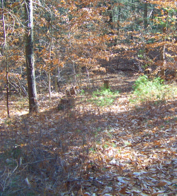 Even in this picture finding the arrow on the tree to the left is a challenge.
Overgrown but passable. Soon the trail becomes defined again.
The way leads out to more open area and leads out onto the green arrow trail.
Take a right and soon the red arrow will take a left on a narrow trail that you need to carefully search for the blaze.
The red arrow is found on a small pine to the left of the trail.
This narrow trail leads moderately downhill with another depression in the ground to the right.
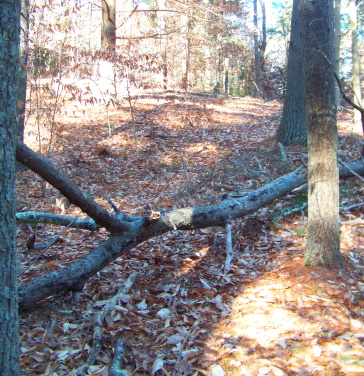 Continue on the trail by crossing over this tree. The not well defined trail leaves you wondering till you climb the small hill.
At the bottom an arrow points left. This is a deep left.
The hiking trail will climb moderately but first cross over a fallen tree.
The trail seems lost till you crest
the hill and find the blazes once again.
Then the trail will curve right and descend.
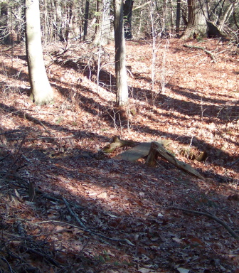
There will be another rise and fall. Then the trail will pass over a small foot bridge.
This foot bridge is really a couple of planks over a small stream that runs out of Denham pond.
Quite often covered by leaves and barely recognizable as a way across.
The trail continues few steps up and a curve to the left.
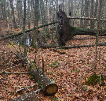 This is the site of a vernal pool marked on the map.
The trail will soon narrow again and more rise and fall.
There will be what looks like a trail split but the trail goes left with a blaze marking the way.
More rise and fall then soon the trail splits at the site of a large fallen tree. Both ways connect with the Green arrow trail.
Here is one of the more notable vernal pools here at Denham Pond Trails.
Go right for more mileage left for different view.
Going left a blaze will be found just beyond the tree.
It leads along the vernal pool and will narrow again and soon turn to the right where it widens.
At 1.15 it descends and merges with the green arrow trail.
Take the sharp left and follow out to Denham Pond once again.
Denham Pond Trails Pictures
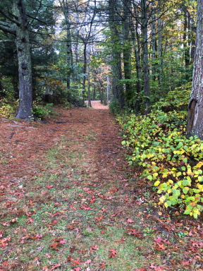 Even the access road down to Denham Pond Trails is picturesque and inviting.
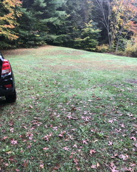 Don't be shy, drive down to the field to park.
This field is quite large.
Picnic, frisbee, fetch with the dog?
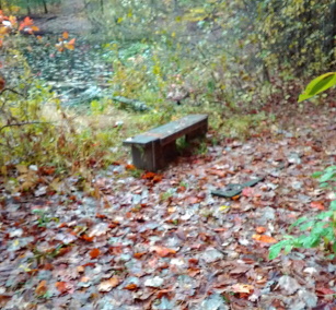 The bench that used to take up residence alongside the pond.
Where did the bench go?
One can picture this as a great place to lace up some skates in the winter.
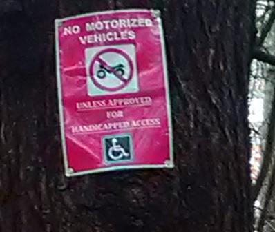
This speaks for itself.
I don't imagine a motorized wheel chair would get far here though.
The field can get muddy in wet months and the foot bridges aren't wide enough.
The area with the fallen tree would be impossible.
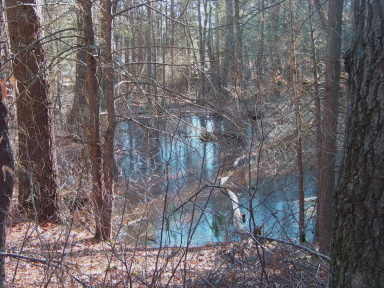
Visit the Denham Pond Trails in spring to here the vernal pools come alive!
Trail
Quick Facts
Directions:
from Boston take route 93 south and route 3 at split. Take exit 35. At end of ramp take right on to Hingham St. into Rockland. At end of Hingham St. take right at lights onto Webster st. Follow to first intersection with East Water St taking a left. At next intersection take left on Liberty St. Follow to the end and left on Market St. This will become Hanover St at line. At lights will be the far end of Circuit St. Continue straight for the closer end. This end will be the third street on the right. The access and sign to Denham Pond Trails will be on the left just after Hillside Dr.
Parking:
Drive down the access road and park in the field.
Room for 4-5 vehicles
Trail Time:
Quick- moderate
many exploration opportunities!
Main trail just over 1/2 mile.
Difficulty:
Easy
Some hills and areas needing careful stepping.
Water Sources:
Denham Pond and the stream behind that flows through.
Denham Pond Trails Map


New! Comments
Have your say about what you just read! Leave me a comment in the box below.